Hassan Davani, PhD, PE
Associate Professor, Water Resources Engineering, San Diego State University
Department of Civil, Construction & Environmental Engineering
Flood Mitigation
We assess the existing conditions of the low lying areas and regions prone to flooding across the world. For example, below is our model for the existing conditions in Sorrento West Business Park in San Diego, under a 10-yr storm event. This area is located at the confluence of two major creeks: Carroll and Los Penasquitos, flowing towards north west, where Los Penasquitos Lagoon is located. Under this scenario, 8 buildings and 2 streets on the left are flooded (depths are in feet).

Below is our mitigation scenario through waterways maintenance and adding an underground conveyance infrastructure. Under this scenario, no building is flooded, and the storm is safely discharged to the Los Penasquitos Lagoon on the top left corner of the map.

HYDROLOGIC & HYDRAULIC MODELING
Dam Breach Analysis
We perform sophisticated flood modeling caused by a dam failure or a storm. For dam failure problems, we simulate the potential failure of the dam considering human life impacts and environmental losses. For this purposes, we calculate the depth and velocity of potential flood waters from a failure event in order to assess their potential impacts. First, we analyze the site topographic conditions to identify the location of the breach with the greatest potential impact. Next, we perform a sensitivity analysis to determine the most conservative breach scenario and the corresponding breach hydrograph. Then, we develop a model to generate breach inundation maps and flood wave animations. Lastly, we present our findings to stakeholders to devise appropriate emergency action plans.
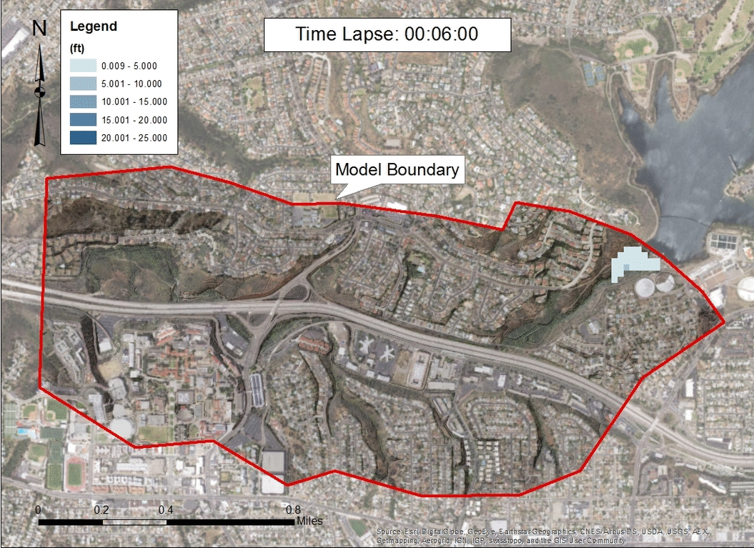
Animation above shows the flood wave for a hypothetical dam breach for the Murray reservoir located at the eastern boundary of the City of San Diego. This animation shows that a dam failure could impact Interstate 8 and building around it, including Alvarado Hospital.